The Voice Of Squamish Climbers
Protecting access to the crags, cliffs and boulders you love
Your added voice brings more influence to bear upon access issues important to the climbing community
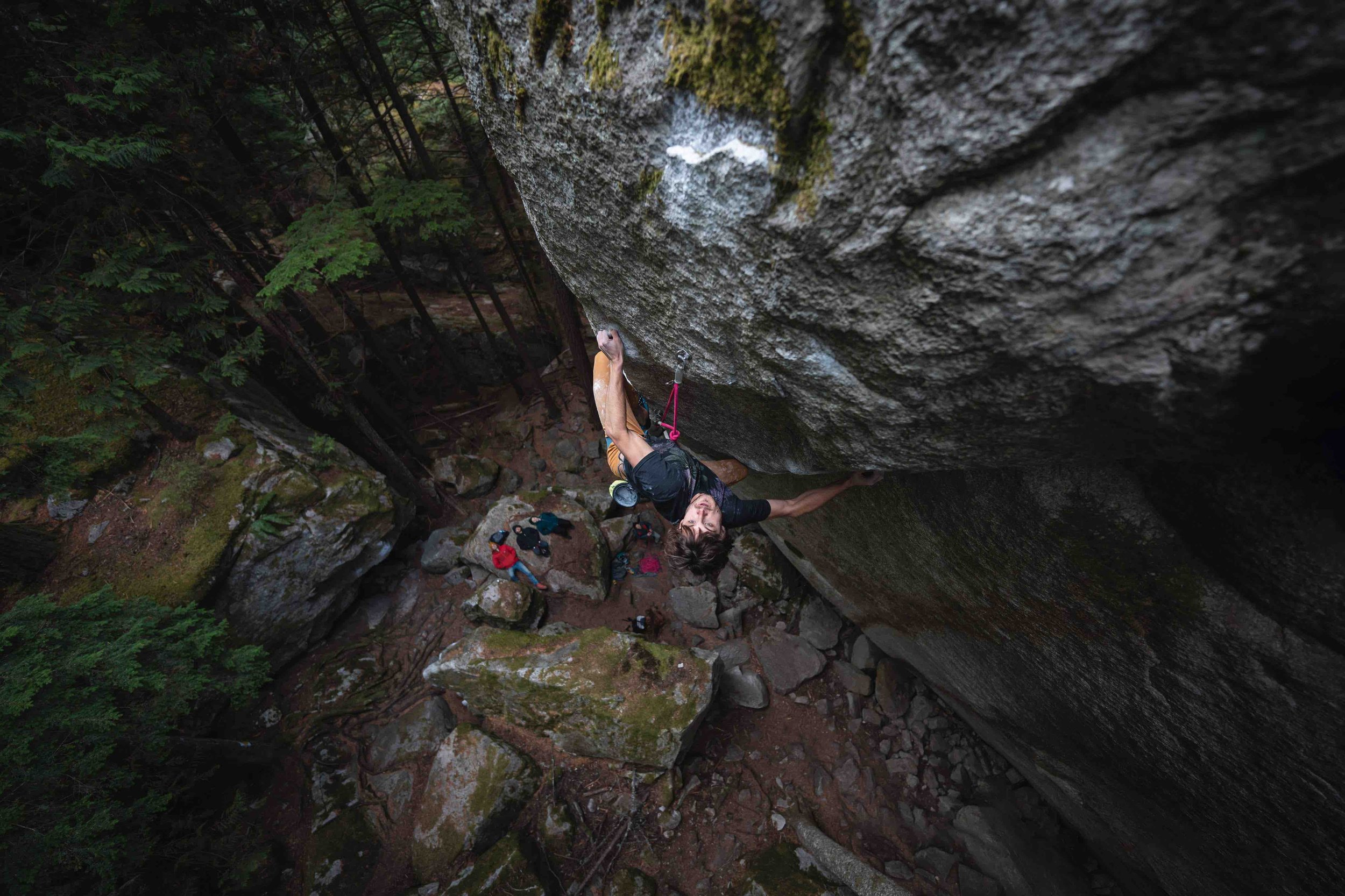
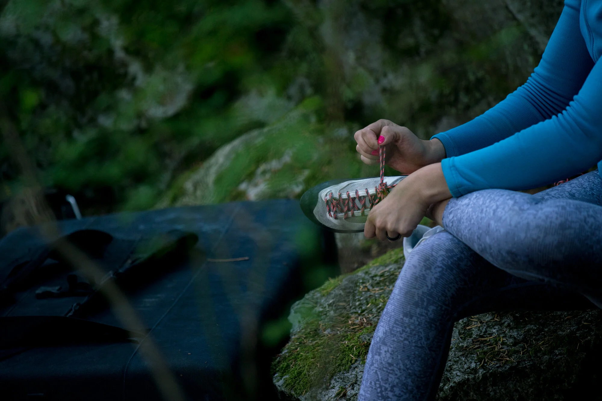
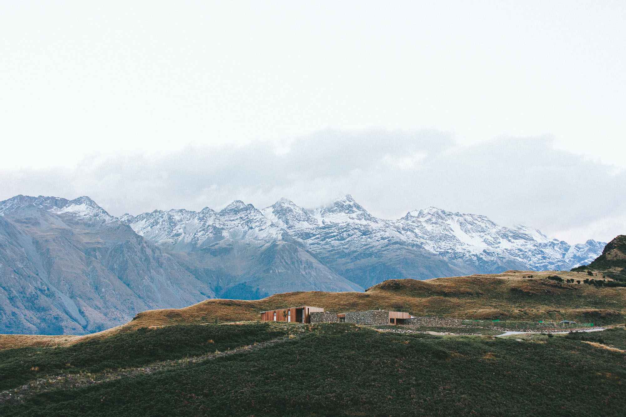
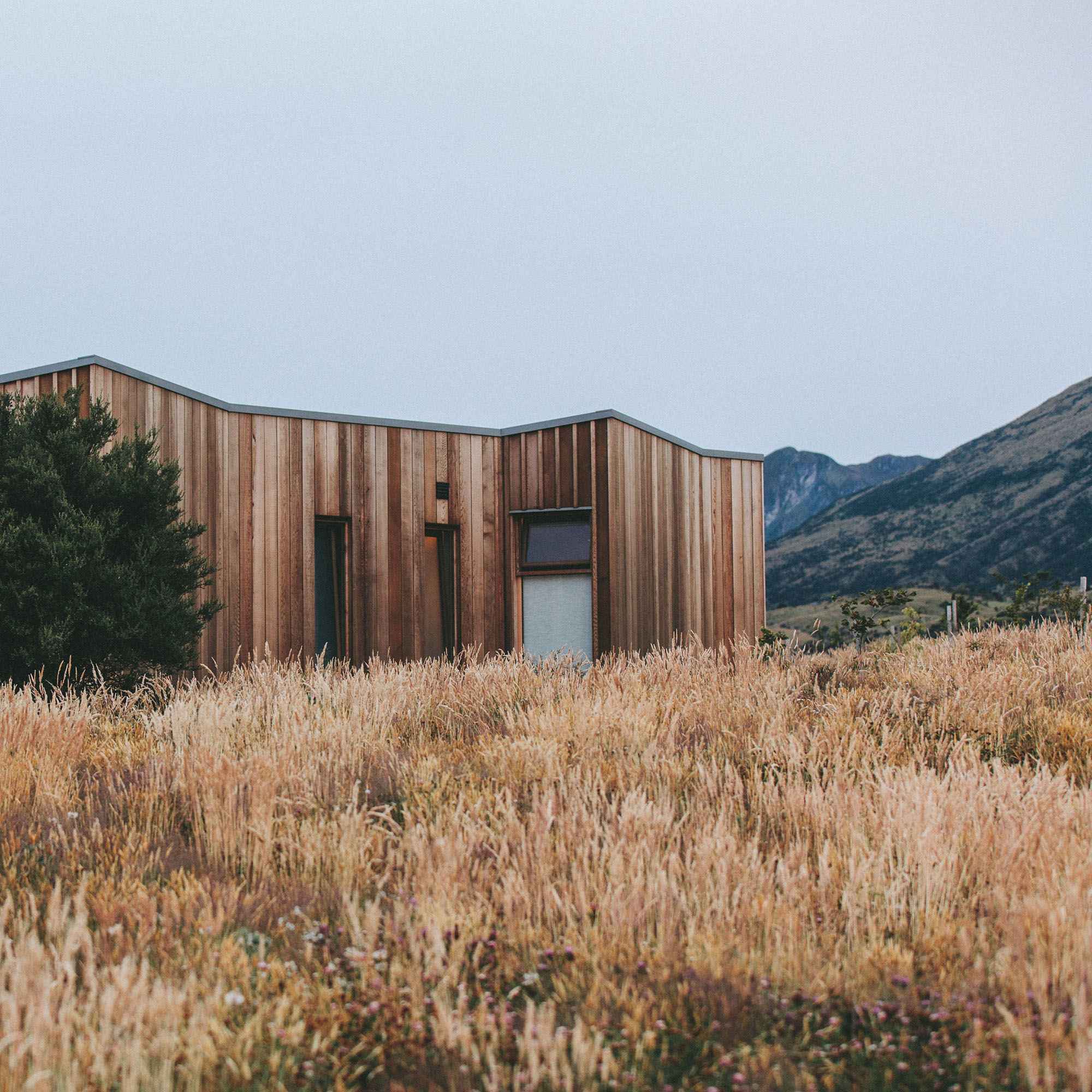
Image: @pim.shaitosa
SQUAMISH
ACCESS
SOCIETY
Advocating for the access to and protection of Squamish’s climbing areas. Maintaining and improving the climbing experience while fostering a diverse and engaged climbing community.
What We Do
Advocacy
We work with Sḵwx̱wú7mesh Nation, land managers, and rightsholders to protect and enhance Squamish climbing access.
Stewardship
We maintain trails, crags, and improve climbing infrastructure. We promote ethical climbing practices and minimize our environmental impact.
Representing climbers to preserve access to the climbing you love
Building trails
Improving infrastructure
Directing and advising parks and government
Re-bolting old crags and bringing them back to life
Anchor and bolt upgrades to keep climbers safe
Events & Community
First time visitor?
Click here for current beta on visiting the area!!
Join SAS
The more the merrier!
$10 for 1 year.
When you join SAS, it helps us speak for climbing in Squamish.
Who we are
The Squamish Access Society (formerly Squamish Rock Climbers Association) was created in 1985. Largely operating behind closed doors, in a small community of outcasts and oddballs, SAS has evolved over the years as our small community has exploded.
We welcome the changes and are excited to meet the next generations of rock lovers!

Get involved
We depend on our community. Donations are appreciated, but we recognize this is not an option for everyone. Time and energy on the ground is where the magic really happens—and we know climbers have tons of that ;).
Click here to find out how to participate in upcoming projects.

Rebolting / Reporting
SAS engages in retrofitting hardware on existing routes. If you have encountered an old or misplaced bolt on a route please let us know!
Latest News:
Core Values
Advocacy - We work with Sḵwx̱wú7mesh Nation, land managers, and rightsholders to protect and enhance Squamish climbing access.
Stewardship - We maintain trails, crags, and improve climbing infrastructure. We promote ethical climbing practices and minimize our environmental impact.
Sustainability - We prioritize the accessibility of Squamish's climbing areas through stewardship and environmental conservation.
Community - We foster an inclusive and connected climbing community by encouraging collaboration amongst climbers, Sḵwx̱wú7mesh Nation, land managers, and rightsholders.
Education - We are committed to educating climbers and the broader community on best practices for climbing areas, access issues and route development.
As guests of the Sḵwx̱wú7mesh Úxwumixw, we are committed to advocating for respectful stewardship of the cliffs and crags within the Sea to Sky region, to ensure continued access for generations to come.
For the love of the land, we are stronger together.